BAGUIO CITY – Revenue-generating offices of the local government expressed confidence in improved tax collection once the Light Detection and Ranging (LiDAR) mapping technology will be put in place by the end of the year.
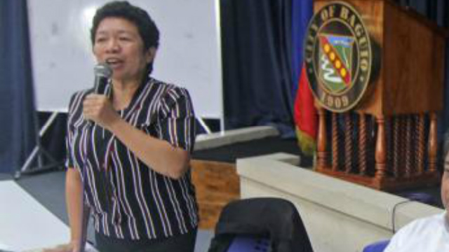
City Assessor Maria Almaya Addawe pointed out once the LiDAR generated maps is available, it will be easier for their office to identify undeclared properties in the different parts of the city and the manual inventory of declared and undeclared buildings by their limited personnel will be significantly reduced.
“The LiDAR mapping technology will surely make our job easier, especially in checking the undeclared buildings in the different barangays. We hope it will also improve our efficiency in working on the declaration of buildings for taxation purposes and improve the real property tax collections of the local government,” Addawe stressed.
The city assessor disclosed that there are only 7 personnel in her office that regularly conduct the assessment of declared buildings and the monitoring of undeclared structures that is why it will surely take some time for the office to have a complete data on the number of existing structures in the city.
However, with the putting in place of the LiDAR mapping technology, Addawe explained it will be easier for her office to perform their assigned duties and responsibilities, especially the validation of the declared structures which might no longer conform with the current state of the structures previously built in a certain place.
Earlier, the city government became the first local government unit in the country to have its entire boundaries surveyed using the state-of-the-art LiDAR scanning technology to boost its disaster risk reduction and management preparedness and taxation efforts.
The city’s LiDAR mapping project was done in partnership with AB Surveying Development (ABSD), the first consultancy firm to introduce aerial LIDAR technology for commercial surveying.
City Treasurer Alex Cabarrubias said it will now be up to the City Assessor’s Office to work on the tax declarations of the various structures in the city which will be the basis in the computation of the real property taxes to be paid by the owners that will translate to a significant improvement in the tax collection of the local government.
He stated the improvement of the local government’s tax collection effort will also translate to the increase in funded development projects and the enhancement of the delivery of basic services to the people living in the city’s 128 barangays.
The LiDAR technology features multiple laser points in accurately mapping large areas and the LiDAR-generated map of the city can be used for infrastructure planning, road network management, flood mapping, tax mapping, disaster risk reduction and management and even for potential investors as aid for scouting viable business locations.
The local government earmarked some P10 million from the city’s previous geographic information system project that did not push through to bankroll the implementation of the 3-month project with the technology being transferred to the city by the end of this year.
By Dexter A. See


