
BAGUIO CITY – The City Council approved on first reading a proposed ordinance identifying the landslide-prone areas in the city feasible for tree planting programs and appropriating funds for the said purpose.
The ordinance authored by Councilor Arthur Alad-iw stated that the proposed measure aims to identify the landslide-prone areas from the Mines and Geosciences Bureau (MGB) mapped out areas that are feasible for tree planting where plans shall be adopted to include the same as tree planting sites to mitigate the effects of landslide and contribute to increased forest cover in the city.
To realize the objectives of the proposed measure, the City Engineer’s Office shall identify from the MGB mapped out landslide-susceptible areas those that are feasible for tree planting and it may also recommend projects that would make the area feasible for tree planting; the City Environment and Parks Management Office (CEPMO) shall include the said areas identified by the CEO for tree-planting purposes and ensure appropriate tree species availability for planting in the area by capable tree planters and it shall ensure the survival of the tree species planted in the area and may recommend plans to ensure that the area is feasible for tree planting; the City Planning and Development Office shall consider and act that the said areas susceptible to landslides should be retained as public land owned by the city and the City Disaster Risk Reduction and Management Office (CDRRMO) shall coordinate with the concerned offices as to its programs that help in mitigating the effects of landslides in the identified tree planting areas susceptible to landslides.
The ordinance stipulates the appropriated funds for the said activity shall come from the CDRRMO to ensure the smooth implementation of the tree planting projects to be implemented under the said proposed measure.
The ordinance notes that Baguio city has a total land area of approximately 57.49 square kilometers with an elevation ranging from 900 meters to as high as 1,600 meters.
From its total land area, 78 percent is reportedly characterized by gentle to moderately steep with slope of less than 30 percent, while 22 percent of the land area has steep slopes greater than 30 percent.
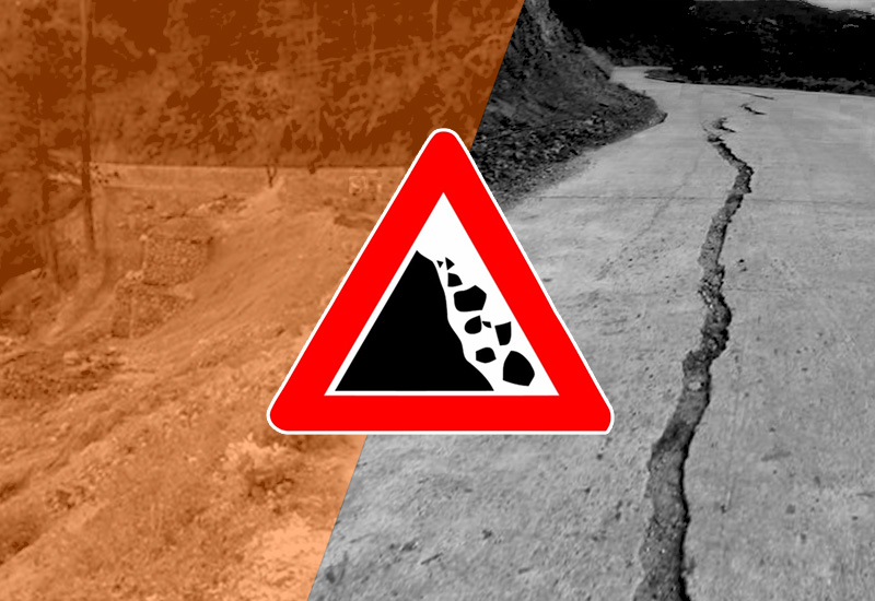
On the other hand, Baguio City is also considered a geohazard-prone area as assessed by the MGB and that landslides and erosions frequently occur in the city whether they are earthquake-induced or due to rainfall.

Further studies show that faultlines are located within areas near the city aside from the fact that the country is within the Pacific Ring of fire, thus, earthquakes are usually experienced, hence, tremblors and tremors induce many of the landslides, particularly those in the unstable slopes.
The ordinance also notes the country is also visited by more than 20 typhoons annually where Baguio city always experiences long and heavy rains that usually weaken the ground leading to landslides or soil erosions that pose a serious threat to residents resulting to some deaths and worth millions of pesos of damages to properties.
By Dexter A. See


