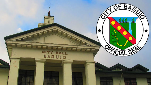
City officials recently requested the City Assessor’s Office, the City Planning and Development Office, the City Engineering office, the City General Services Office, the City Buildings and Architecture Office, the Department of Environment and Natural Resources, the Community Environment and Natural Resources Office and the Department of Public Works and Highways (DPWH) as well as geodetic engineers in the city and all other concerned agencies or offices to establish and ascertain unified reference points in the city to be used in land mapping and other purposes.
Under Resolution No. 066, series of 2024, local legislators stated that there must be an established unified reference point set by all concerned parties to serve as the official point of reference of the city in determining and solving land surveys and boundary issues.
The council admitted that there are several instances in the city where public and private lands overlap each other due to various and different reference points being used by the surveying parties.
The body directed the City Assessor’s office to spearhead the meeting of all involved agencies or offices to discuss the matter and agree on the use of the unified reference points in the conduct of surveys to resolve boundary disputes and conflicts arising from said issues.
Copies of the approved resolution will be transmitted to the concerned government agencies and instrumentalities for their information, guidance, ready reference and further needed action. By Dexter A. See


